Below you will find pages that contain the key word “WebApp”:
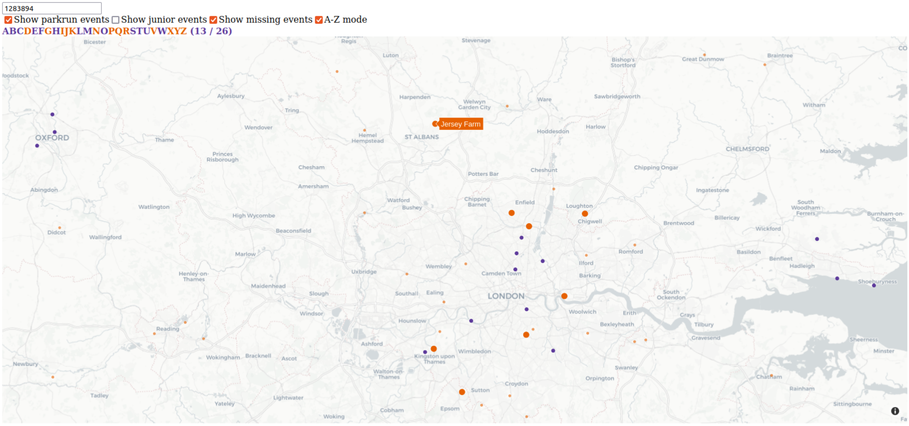
Parkrun Map
Like to parkrun? I certainly do! This project helps you to visualize where you’ve been running, and where you could go next. Simply run the app locally with Python, and enter an athlete ID (e.g. your own one).
I’ve used Plotly Dash to render the parkrun participation on a map for a given athlete. The map initially starts out centred on your home parkrun course - the one you’ve visited most - just zoom out if you’ve gone farther afield.
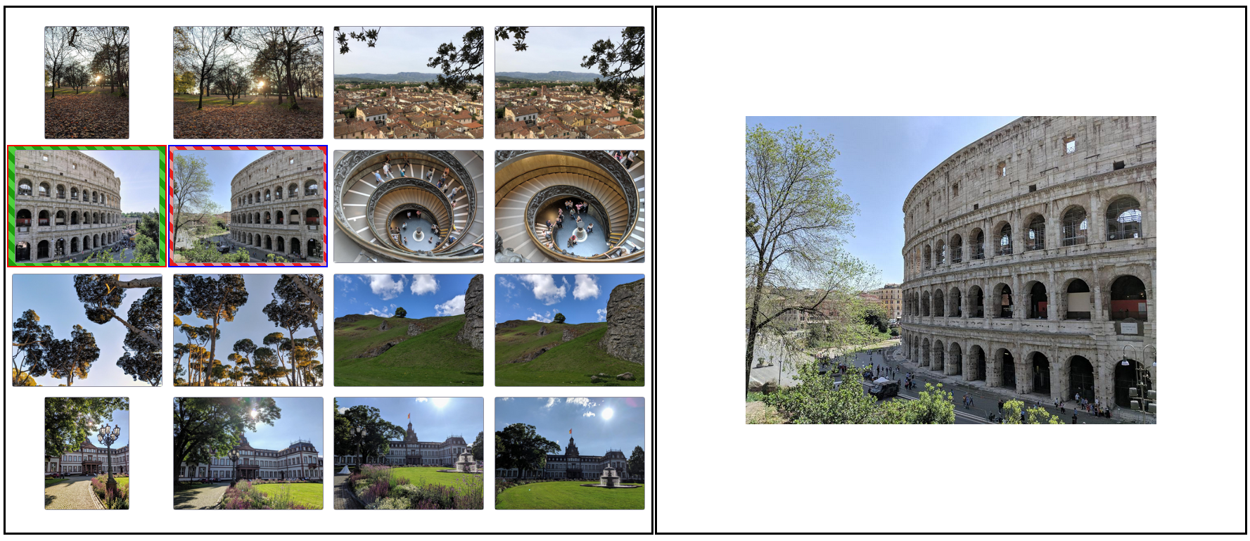
Image Selector
Duplicate photos are annoying and unwanted. Wouldn’t you rather make those post-holiday rundowns with the family as impressive (short) as possible? The burden of boiling your photo set down to the most memorable and ones with the best angle is greatly reduced by this app. It works because you can visualize all images together in the order they were taken.
I now use my Dash app routinely after every holiday, as it makes the deduplication process much faster, yielding a cleaner set of photos without maxing out your hard drive!

